Austrália criará mapa global do solo
 13 de março de 2009
 Scientists at Australia’s University of Sydney will map most of the world’s ice-free land surface over the next five years, reports Yahoo News, creating global maps for soil quality in order to improve current climate change models and estimate the production capacity for crops worldwide.
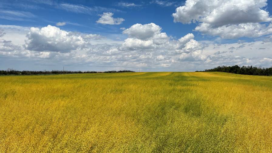
The maps use satellite data for Digital Soil Mapping (DSM). Sophisticated geo-statistical models compile data from GPS receivers, field scanners, and remote sensing, as DSM processes information using computational methods such as geo-statistical interpolation, inference algorithms and Geographical Information Systems. O University of Sydney’s Australian Centre for Precision Agriculture Director — and Vice-Chair of the GlobalSoilMap consortium –Alex McBratney describes the newly created maps as providing soil information at about every 100 metres across the world — a vast improvement over current maps, which are scaled at one to five million. The soil information from DSM is at very high resolutions — in some cases, every 10 metres — and provides soil properties such as texture, available water capacity, soil depth, acidity or alkalinity. Says McBratney: “These maps will give us a good estimate of the production capacity for all kinds of crops all over the world, in some billions of places across the world.”
GlobalSoilMap is the project of a consortium of scientists in major agricultural organizations across the world, including the CSIRO na Austrália, o Departamento de Agricultura dos EUA, and government research organizations in Europe, Brazil, Africa, and China. In Africa, the Gates Foundation will provide funds to help develop the maps.
The information compiled by GlobalSoilMap can be used for soil protection measures, says McBratney. These measures can be gleaned from a limited amount of information in a rapid and detailed manner. For example, around 16% of territory in the EU is affected by soil degradation, including the “sealing” of soil — a problem in many parts of the world. Soil sealing is caused by dhousing and infrastructure development, which is progressing at an alarming rate — more than 100 hectares per day in Germany. Soil sealing severely affects the natural hydrological cycle, and is said to have contributed significantly to recent severe flooding in Europe. This information can be mapped by GlobalSoilMap, and the knowledge will help scientists to develop a solution.